Aerion Mapping Solutions LLC
  • Home
  • Services
  • About
  • FAQ
  • CONTACT / GET A QUOTE

SERVICES

WE CREATE MODELS, TAKEOFFS, AND DESIGN WORK FOR:
SITE DEVELOPMENT, RESIDENTIAL, SUBDIVISION, HEAVY HIGHWAY, AIRPORTS, RAILROAD, LANDFILL, RECLAMATION SITE, STREAM RECONSTRUCTION, UTILITIES, STORM MANAGEMENT, AND MORE

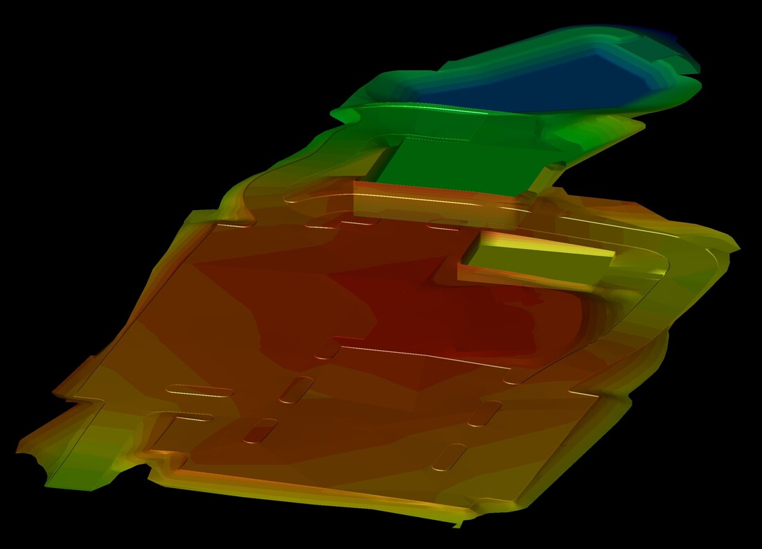
3D GPS & MACHINE CONTROL
​MODELING/LAYOUT

 - Final Grade Surfaces
 - Subgrade Surfaces
 - Separate Machine Files (Upon Request)
  - 3D Elevated Utility Structures & Piping
 - Pipe & Over Excavation Grading Files
 - Full Data Prepped File
 - Re-Layered Linework & Color Adjustment
 - Control Point & Stakeout Points
 - Heavy Highway Corridors & Alignments
​ - Profiles and Surfaces from Cross Sections
 - Google Earth .KML Files

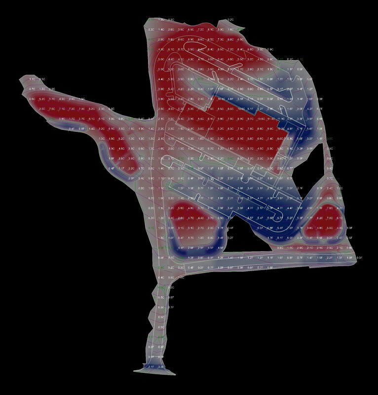
EARTHWORK & MATERIAL
TAKEOFFS

 - Earthwork/Material Takeoff from PDF (Vector or Non Vectorized)
 - Earthwork/Material Takeoff from CAD
 - Earthwork from Stripped Surface to Subgrade Adjusted for true "On Site Soil"
 - Bedrock Calculation from Geologic Report
 - Topsoil Calculation from Geologic Report
 - Site Improvement/Material Areas
 - Length & Count Reports
 - Google Earth .KML Files when available
​

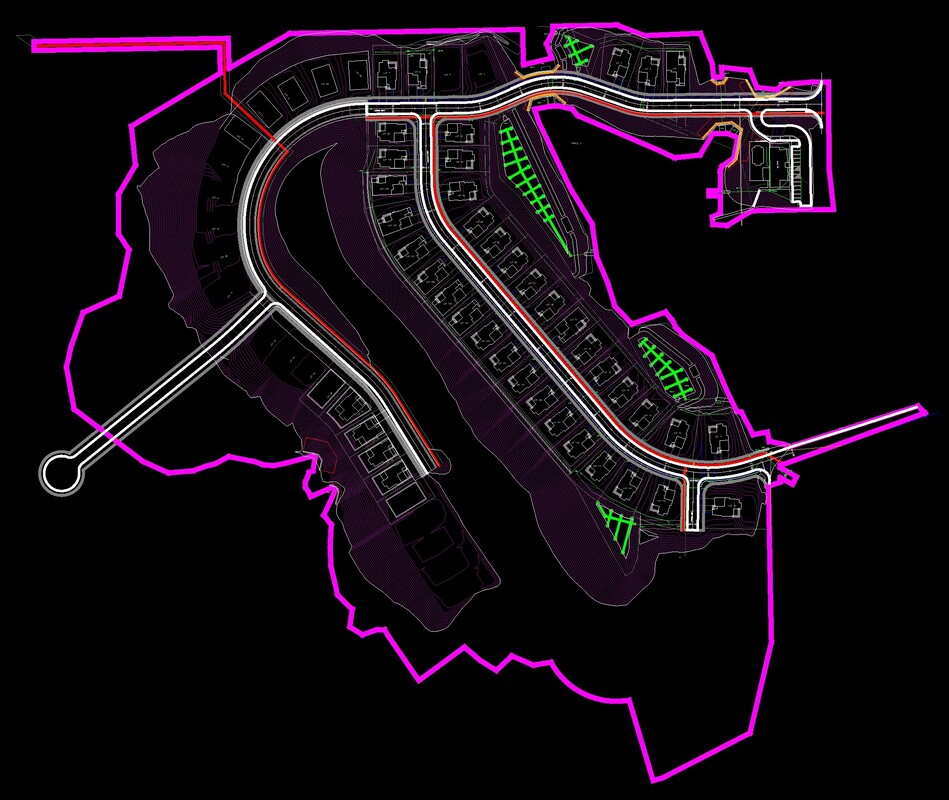
CIVIL DESIGN - MAPPING
DRONE PROCESSING
DATA TRANSFER

- Site Development Design
 - Roadway Design
 - Utility & Layout Design
 - General Design Plans
 - Import Your Plans and Add Title blocks
 - Process Drone Data, Point Cloud Cleanup & Volumes Calculations
 - Trimble Worksmanager Management
  - Topcon Sitelink 3D Management
 - Leica ConX Management
Picture
Picture
Picture

ADDITIONAL EXAMPLES AVAILABLE UPON REQUEST IN PDF OR CAD FORMAT

AERION MAPPING SOLUTIONS LLC
PITTSBURGH, PA
 412-477-7753
​​INFO@AERIONMAP.COM
Picture
Picture
Picture

    SUBSCRIBE TO OUR NEWSLETTER

Subscribe to Newsletter
PRIVACY POLICY
TERMS OF USE
© 2024 Aerion Mapping Solutions LLC | All Rights Reserved
  • Home
  • Services
  • About
  • FAQ
  • CONTACT / GET A QUOTE